 By
JOHANNESBURG — Disaster management structures across Gauteng and parts of Mpumalanga have been placed on high alert today following a severe Level 4 weather warning issued by the South African Weather Service (SAWS) National Forecast Centre.
The alert, valid from 13:00 through midnight on Friday, 6 November 2026, warns of imminent severe thunderstorms characterized by destructive winds, heavy downpours, and severe hail.
The high-risk system covers the bulk of Gauteng’s industrial heartland and extends into the south-western reaches of the Mpumalanga Highveld, putting critical municipal infrastructure and millions of residents in harm’s way.
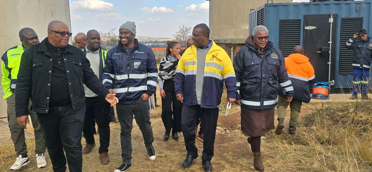
In response to the forecast, the Gauteng Department of Cooperative Governance and Traditional Affairs (CoGTA), under the leadership of MEC Jacob Mamabolo, officially activated disaster preparedness protocols. The department has directed all affected district, local, and metropolitan municipalities to immediately trigger their emergency contingency plans.
Key Municipalities Under Watch
The warning encompasses major economic hubs and surrounding rural and informal sectors. Local authorities instructed to deploy emergency measures and place response units on standby include:
- Metropolitan Areas: City of Johannesburg, City of Tshwane, and Ekurhuleni.
- Gauteng Districts: Lesedi and Midvaal.
- Mpumalanga Highveld Municipalities: Dipaleseng, Emalahleni, Govan Mbeki, Lekwa, Pixley Ka Seme, and Victor Khanye.
CoGTA officials cautioned that the expected confluence of gale-force winds and torrential rains presents a multi-faceted crisis for urban infrastructure. Anticipated impacts include localized flooding, structural damage to both formal housing and informal settlements, vehicle destruction, loss of livestock, and widespread disruptions to power grids and telecommunication networks.
Additionally, low-lying bridges and key transit routes face temporary closures, raising concerns over community displacement and traffic paralysis during peak weekend travel hours.
Coordinated Public Safety Mobilization
Speaking on behalf of provincial leadership, CoGTA Head of Communications Mr. Admire Ndaba and MEC Spokesperson Mr. Theo Nkonki emphasized that municipal first responders and disaster management units have been directed to closely monitor vulnerability hot spots—specifically low-lying catchments, informal housing settlements, and prone roadways.
“The department, through the National Disaster Management Centre (NDMC), will continuously monitor rainfall levels and structural threats across municipal boundaries, stepping in with coordinated provincial interventions wherever required,” stated CoGTA representatives.
Provincial disaster management authorities issued an urgent public safety directive, urging residents to exercise extreme caution:
- Seek Shelter: Stay indoors and clear of windows. Avoid standing near metal objects, tall isolated structures, or trees.
- Avoid Outdoor Activities: The public is explicitly warned against golfing or fishing during the storm window, as graphite and metal rods act as lightning conductors.
- Road Safety: Commuters are instructed never to attempt driving or walking through submerged roads, flooded bridges, or low-lying watercourses.
- Storm Tracking: Residents are encouraged to monitor live storm progression using the official WeatherSmart mobile application by navigating to its interactive tracking map.
As atmospheric conditions deteriorate across the Highveld, provincial authorities maintain that rapid communication between emergency management units and local ward structures will be crucial in mitigating property loss and ensuring public safety throughout the night. Local emergency call centres remain on high alert to handle incoming distress calls across all affected municipalities.