
 By
By 
South African disaster management authorities and meteorological experts have issued urgent public safety advisories as a powerful atmospheric system prepares to make landfall across the country.
A major cold front, associated with a steep upper-air trough, is forecast to impact the Western and Northern Cape on Sunday, 9 August 2026, bringing very cold, wet, and windy conditions, rough coastal seas, and mountain snowfalls.
As the weather system progresses eastward across Southern Africa, environmental authorities and government representatives are calling on communities, motorists, and agricultural operators to take immediate, proactive precautions to mitigate risk to life, livestock, and infrastructure.
Atmospheric Dynamics: Tracking the Front
According to detailed technical updates from the South African Weather Service (SAWS), the incoming front is anchored by a steep upper-air trough that will intensify significantly after making landfall on Sunday. On Monday, 10 August 2026, the trough is expected to deepen further as it moves across the central and eastern regions, extending severe cold weather deep into the interior.
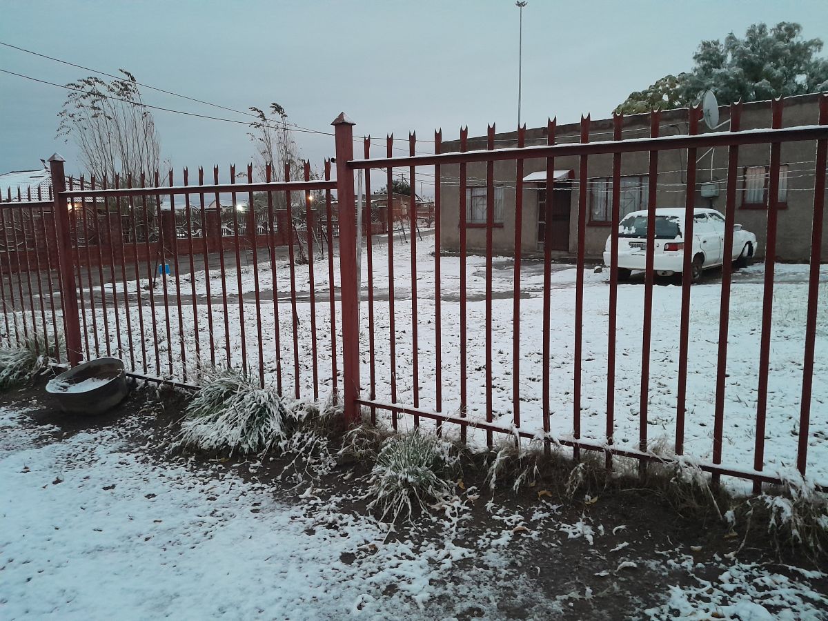
The system will bring scattered to widespread rain and showers across southern regions, accompanied by gale-force winds and hazardous wave action along the coast. High-altitude regions will experience notable snowfall. High-confidence forecasts pinpoint snow accumulations over the mountain ranges of the Free State, KwaZulu-Natal, and Mpumalanga, with a lower probability of light snow flurries in adjacent higher-lying areas.
Key Environmental and Infrastructure Hazards
Meteorologists and emergency management officials have highlighted several significant threats associated with this severe weather system:
- Hydrological Risks and Localised Flooding: Persistent rain poses a high risk of localized flooding in low-lying areas, roads, low-water bridges, and vulnerable informal settlements.
- Damaging Winds: Strong, gusty winds carry the potential to down trees, compromise electrical power infrastructure, cause structural damage to roofs, and create hazardous driving conditions.
- Coastal Hazards: Rough seas and damaging waves along the coastline present severe hazards for maritime transport, fishing activities, and coastal structures.
- Travel Disruptions: Snow accumulation across mountain passes is anticipated to create icy roads, severely reduced visibility, hazardous conditions, and potential pass closures.
- Thermal Exposure and Agricultural Stress: Rapid temperature drops pose direct hypothermia risks to vulnerable human populations and severe physiological stress to livestock.
Agricultural Safeguards and Vulnerable Communities
Farmers and livestock managers are strongly advised to implement emergency protective protocols prior to the onset of the storm. Animals must be moved to secure, dry, and wind-sheltered enclosures with access to adequate feed and clean water to prevent cold-induced livestock mortality.
Concurrently, public health and social disaster management services are focusing attention on protecting vulnerable community members. Government advisories emphasize ensuring that children, the elderly, persons with disabilities, and individuals living in substandard housing are properly protected from extreme cold exposure.
Government Safety Directives for the Public

In light of the impending system, government authorities and disaster management centres have issued clear directives to help citizens navigate the severe weather safely:
- Stay Informed via Verified Channels: Monitor official updates issued by SAWS (accessible at www.weathersa.co.za) and bona fide media outlets. Avoid sharing unverified social media reports that risk spreading misinformation or public panic.
- Exercise Extreme Caution on Roads: Motorists should check road conditions prior to departure, reduce travel speed, expand following distances, and keep headlights illuminated during low visibility. Travel through mountain passes should be minimized or approached with extreme care.
- Avoid Water Hazards: Under no circumstances should pedestrians or drivers attempt to cross flooded roads, submerged bridges, or fast-flowing water streams.
- Secure Property: Property owners should anchor loose outdoor equipment, machinery, and temporary structures to prevent wind displacement.
- Prepare Emergency Contingencies: Residents in low-lying, flood-prone locations must remain alert to rising water levels and prepare to move to higher ground if advised by emergency services.
As disaster response teams monitor the system’s trajectory, the overarching mandate from both meteorologists and government officials remains clear: plan ahead, stay vigilant, and prioritize safety above all else.